CityFix:
Civic Engagement
A React Native community platform empowering citizens to report issues with geotagged photo evidence, propose solutions, and fund local sustainability projects.
CORE CAPABILITIES
Issue Reporting
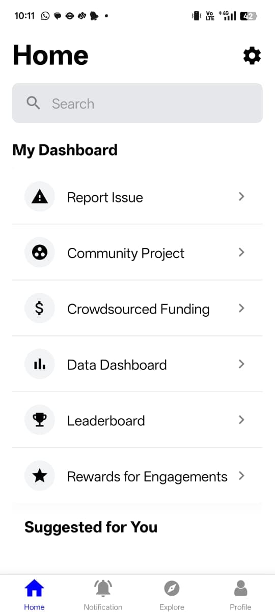
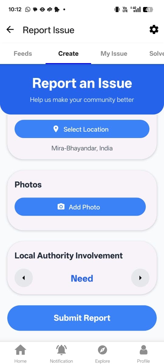
Geolocation & photo evidence tracking
SDG Alignment
Aligned with UN SDG 11: Sustainable Cities
Interactive Maps
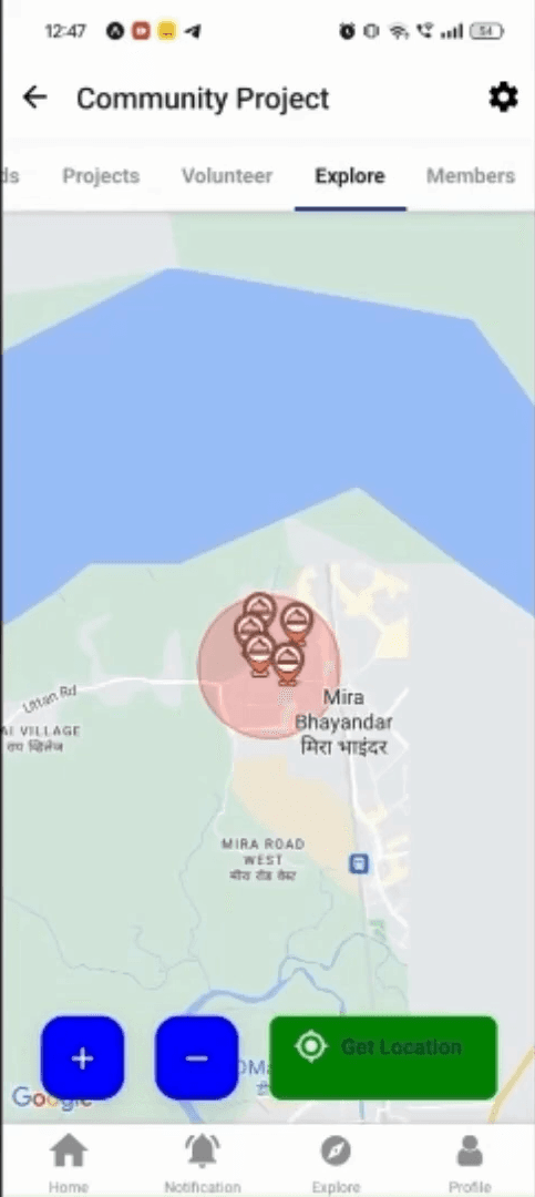
Google Maps clustering & visualization
Crowdfunding
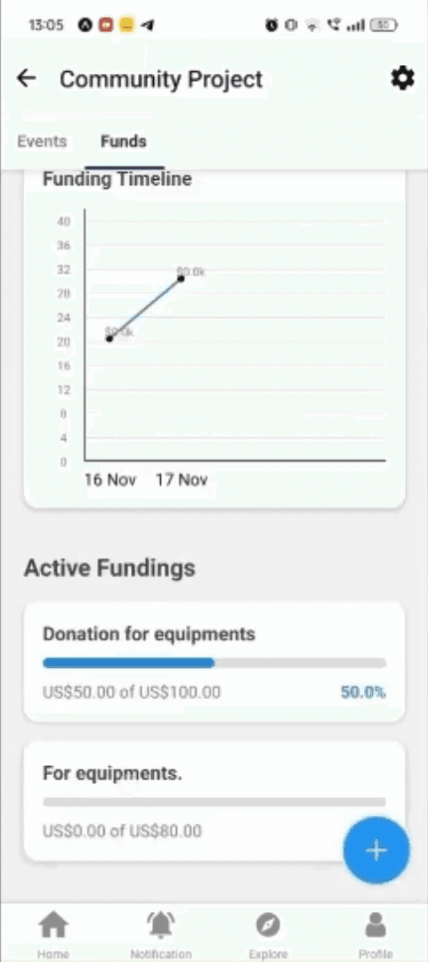
Fundraising for local initiatives
Real-time Chat
Community coordination messaging
Gamification
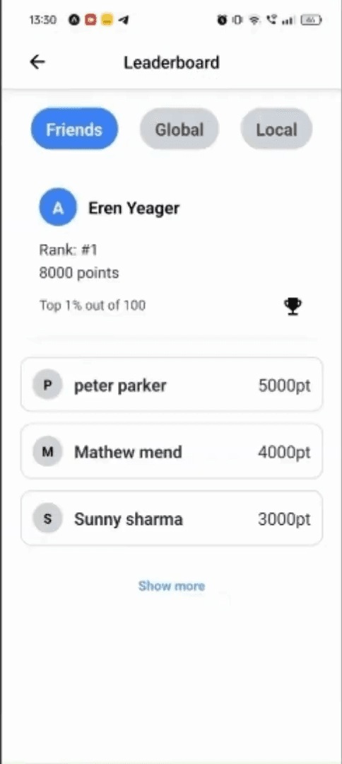
Points, rewards, and leaderboards
App Showcase
Six screens, one per capability — tap any to open it full size.

My part
The server side
CityFix was a team build for the GNEC International Hackathon. Being specific about who did what matters more on a group project than on a solo one: I built the backend — the Express and Prisma REST API, and the database schema underneath it. The React Native client was not mine.
That split shaped what I had to get right. A mobile client on a patchy connection is an unforgiving consumer of an API: every response is something a phone has to render before the user loses patience, and the app cannot compensate for a schema that made the wrong thing hard to query.
The services deploy to Railway, split rather than bundled, so the pieces of the system can be restarted and reasoned about independently.
WHY THIS SHAPE
MongoDB, for one query
The central question this product answers is “what is broken near me”, which is a radius search over points on a sphere. MongoDB answers that natively with geospatial indexing rather than through an extension or a bounding-box approximation, and once the primary read path is a geo query, that is the decision that should drive the store.
Prisma over it anyway
A document store makes it easy for a schema to exist only in the heads of whoever wrote the last insert — which is exactly what a hackathon produces. Prisma forces the schema to be a written artefact several people can read and the client to be typed against it.
Firebase for identity
Authentication is the least differentiated part of a civic app and the easiest to get subtly wrong. Handing it to Firebase meant the API only ever has to verify a token, and no password ever reaches infrastructure we were maintaining.
Expo for reach
A reporting tool that only exists on one mobile platform reports half a street. React Native under Expo made both platforms one build, which for a civic product is closer to a requirement than an optimisation.
The workflow
A report is the start, not the end
Most civic reporting apps are a suggestion box: you file something, it vanishes into a queue, and you never learn whether anything happened. The design here treats a report as the opening move in a conversation with several possible participants — the reporter, an authority, and other residents — each of whom can act on it.
01 — Report it where it is
A report is a location before it is anything else. The reporter captures the spot and attaches photo evidence, so the record is a claim someone can go and check rather than a description that has to be trusted.
02 — Decide whether an authority is needed
Escalation is an explicit toggle at report time, not an automatic route. A cracked pavement and an unsafe transformer are both potholes in the data model and very different things in practice, and the person standing in front of it is the one who knows which.
03 — Find what is broken near you
Reports surface on a shared map, clustered and filtered by radius, so the question a resident actually asks — what is wrong around here — is answered directly instead of through a list they have to scan.
04 — Propose a fix
Both an authority and the community can put forward a resolution against an existing report. A proposal is a distinct object from the report, which is what allows more than one to exist for the same problem.
05 — The reporter accepts or declines
Proposals do not resolve anything on their own. The person who raised the issue accepts or denies, which keeps the final say with whoever is actually affected rather than with whoever replied first.
06 — Fund it and follow it
Work that needs money becomes a community project with a funding target and a visible timeline, so the gap between a reported problem and a paid-for fix is something residents can watch close rather than guess at.
Points and a leaderboard sit across the whole loop. Gamification on a civic product is easy to sneer at and hard to do without: the honest problem is that reporting a pothole benefits everyone slightly and the reporter barely at all, and something has to close that gap before the map has enough on it to be worth opening.
FOUR EXTERNAL SERVICES
Google Maps
Rendering, clustering and the map interaction itself.
OpenRoute
Geocoding — turning a dropped pin into something a person recognises, and an address back into coordinates.
OpenWeather
Conditions at a location, which is context a report frequently needs.
AQICN
Air quality, which is the one civic problem residents cannot see and therefore rarely report.
Each of the four answers a question the app cannot answer from its own data. None of them own anything: a report stays valid and readable if any one of them is unavailable, which is the only sane way to depend on four third parties at once.
Context
Built against SDG 11
The brief was the United Nations' eleventh Sustainable Development Goal — sustainable cities and communities — and that constraint is visible in the product rather than bolted onto it. The goal is about inclusive, safe and resilient urban settlement, which is why the app is as interested in who gets to propose a fix and who funds it as it is in logging the problem.
It took third place at the GNEC International Hackathon in 2024.
Team project. My contribution: backend API and database schema.
TECHNICAL ARCHITECTURE
frontend
React Native
Expo Framework
NativeWind
Tailwind for Mobile
JavaScript
Core language
Zustand
State management
backend
Node.js
Runtime environment
Express.js
Web framework
TypeScript
Type-safety
Prisma ORM
Database toolkit
infrastructure
MongoDB Atlas
Cloud database
Firebase Auth
Authentication
Railway
Deployment
apis
Google Maps
Map integration
OpenRoute
Geocoding
OpenWeather
Weather data
AQICN
Air quality